

About
About MÒR Mapping
MÒR (pronounced more) is the Scottish Gaelic word for “big” or “great” – a fitting name for a company that captures the land from above and transforms vast terrain into actionable data.
Founded by Jonathan, a Sunshine Coast local with proud Scottish roots, MÒR Mapping reflects both heritage and ambition. The name honours the tradition of surveying great landscapes, while embracing modern drone technology to deliver high-resolution aerial mapping services.
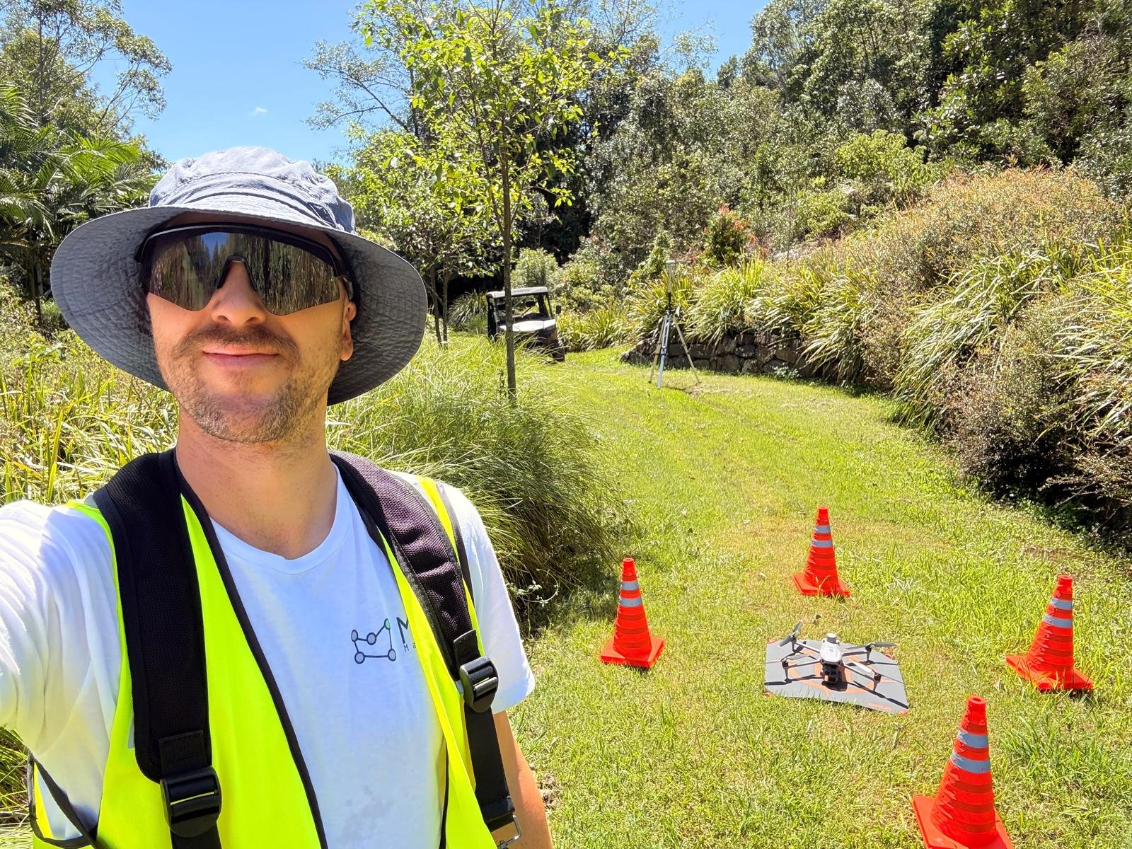
Jonathan (Jonny) is a mechanical engineer with a research background in design, manufacturing, and systems integration. Before founding MÒR Mapping, he worked across advanced prototyping and production workflows, applying precision thinking to real-world challenges. His expertise in mechanical systems and design research now powers MÒR Mapping’s aerial data solutions — delivering high-resolution mapping, terrain modelling, and spatial analysis for construction, agriculture, mining, and bespoke projects. Every deliverable reflects his commitment to accuracy, usability, and technical depth. Driven by a deep passion for mapping data, Jonathan goes above and beyond to ensure each project is not only achievable but executed to the highest standard — no matter the terrain, timeline, or technical challenge.
“At MÒR Mapping, our mission is to elevate the way the world is measured, understood, and improved. Guided by our core values
– Curiosity, Adaptability, Safety, Impact, and Quality (CASIQ) –
we deliver precise, reliable, and intelligent aerial data that empowers better decisions for every client and every project”.
ADABTABILITY
We respond with adaptability, tailoring our workflows to the land, the task, and the needs of those we serve. Every site, every brief, and every terrain is met with a tailored approach — responsive, resourceful, and grounded in practical outcomes.
CURIOSITY
We approach every environment with curiosity, exploring new possibilities and innovative techniques. Every dataset is explored with intent — asking better questions, uncovering patterns, and pushing the boundaries of what mapping can reveal.
IMPACT
We strive for meaningful impact, ensuring our data drives clarity, confidence, and progress. Every deliverable is designed to inform — empowering better decisions, smarter land use, and long-term value for clients and communities.
QUALITY
We commit to steadfast quality, producing accurate, dependable maps and models that set a higher standard. Quality isn’t just a deliverable — it’s a discipline. From flight planning to final export, every step is designed to ensure accuracy and precision, reliability and usability.
SAFETY
We operate with uncompromising safety, protecting people, property, and the environment in every mission. Every operation is planned and executed with care — compliant, risk-aware, protected.
MÒR Mapping operates under CASA Remote Operator’s Certificate (ReOC) 9785, with a documented safety management system and a CASA-compliant RPAS Operations Manual. We carry $20 million public liability and $5 million professional indemnity insurance, so your project is protected across construction, development and land-management work throughout South East Queensland.
We’re not a one-person operation, either. Alongside our Chief Remote Pilot, we have a second pilot in command and a dedicated project manager, so every job is properly planned, crewed and delivered — from first flight plan to final data hand-over.
How we keep our data accurate
Accuracy isn’t a marketing word for us — it’s a workflow. We capture with survey ground control and PPK (post-processed kinematic) correction, and we georeference every deliverable to GDA2020, MGA Zone 56 — the correct datum and zone for South East Queensland. That means the data we hand you lines up cleanly with your coordinate system the first time, without a round of rework.
It’s also worth being clear about scope. MÒR Mapping supplies survey-grade supporting data — orthomosaics, point clouds, elevation models and ground control that surveyors, engineers and civil teams build on. We’re not a registered surveying practice and we don’t perform cadastral boundary determinations; where that’s needed, we supply the aerial data that supports it and work alongside your surveyor.