
Out in the field with MÒR MAPPING — capturing aerial data that’s low-impact, cost-effective, and built for smarter land use. Every flight is planned with purpose, delivering high-resolution insights without the footprint.
Precision crop insights. terrain & boundary mapping to boost yield, irrigation, and land management.
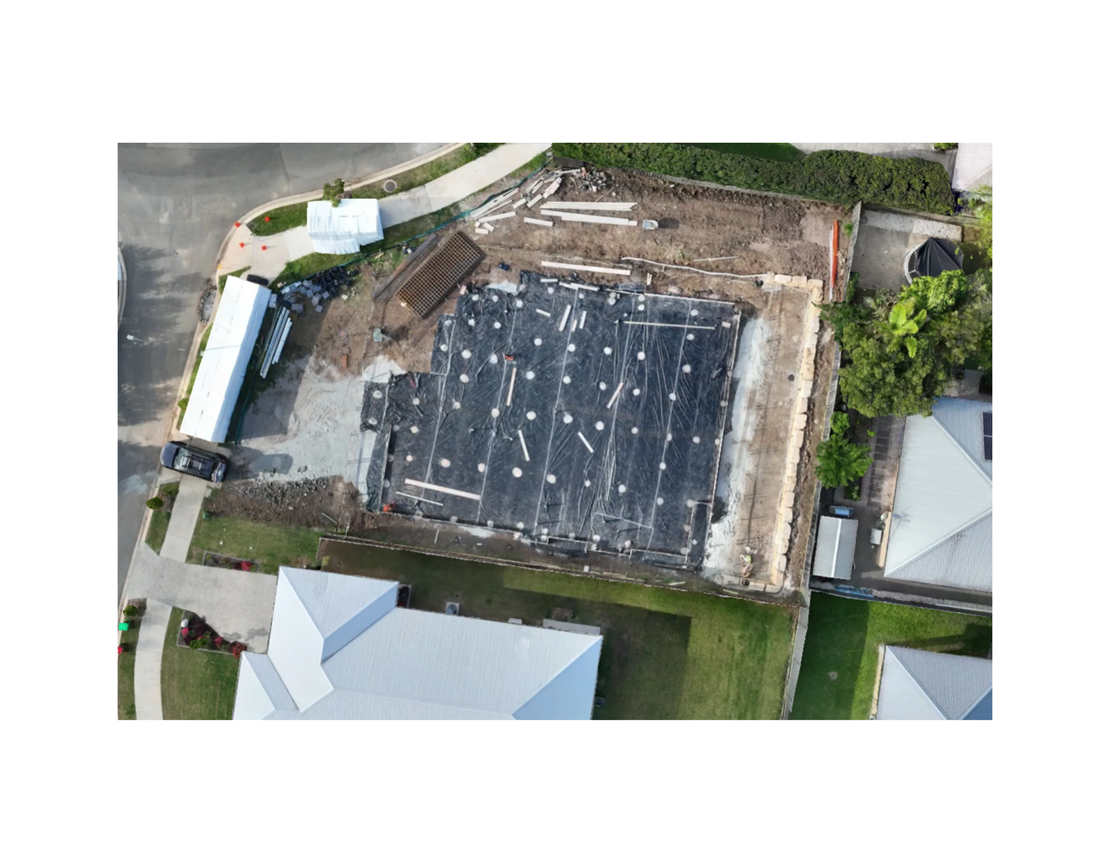
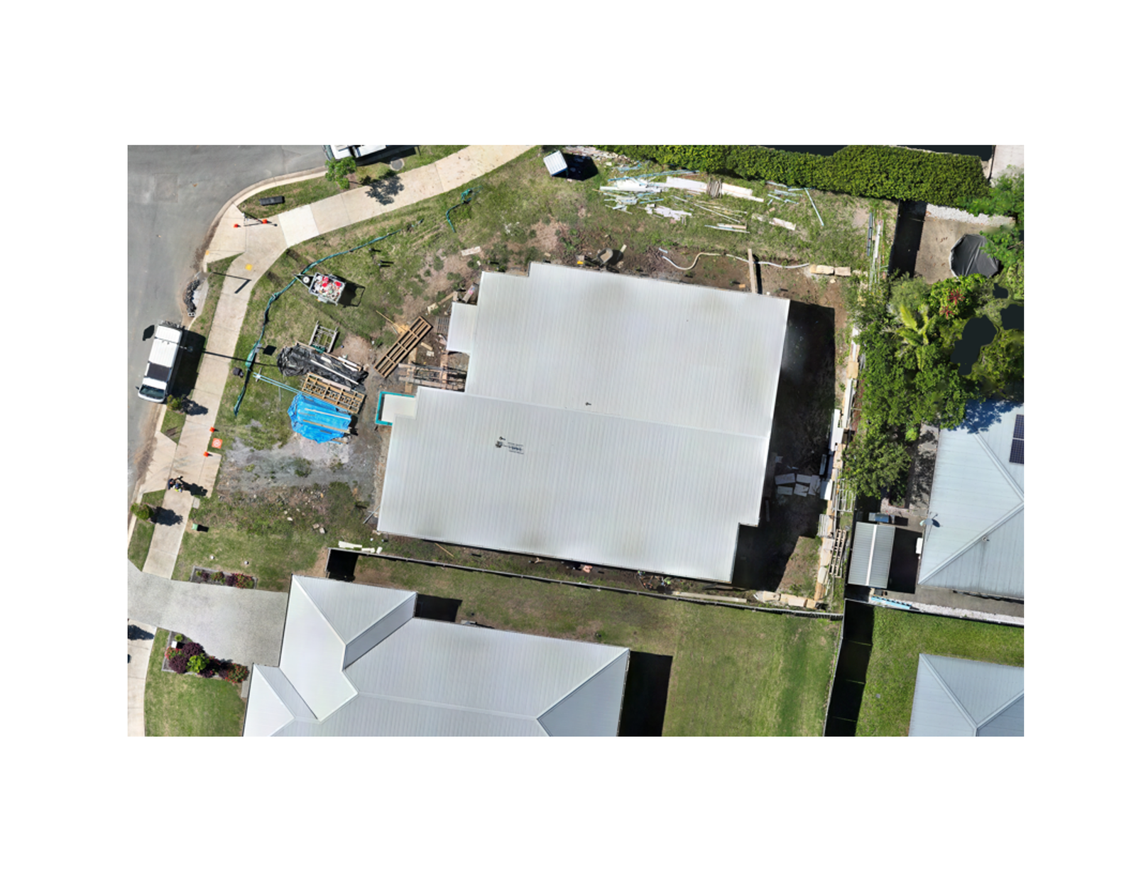
CONSTRUCTION
Generate high-resolution orthomosaics, 3D models, and volumetric analyses to support site planning, progress validation, and compliance documentation.
mINING & quarry
Produce accurate topographic models and stockpile volume estimates to optimise extraction workflows and ensure safety across active sites.
Private & BESPOKE
Custom drone mapping solutions tailored to your unique site, assets, or environmental needs.
CHECK OUT OUR 3D VIEWER
Due to the large 3D file size, this model is best viewed on a desktop or laptop computer.
A snapshot of the real sites and surfaces we map across the Sunshine Coast.
MÒR MAPPING conducts all aerial operations under ReOC/RePL certification, ensuring compliance with Australian aviation regulations. Our insurance coverage includes public liability and equipment protection, giving clients peace of mind across mining, construction, and agricultural sites. Safety briefings, risk assessments, and weather monitoring are standard practice before every flight.